|
Real Time Flood Modeling
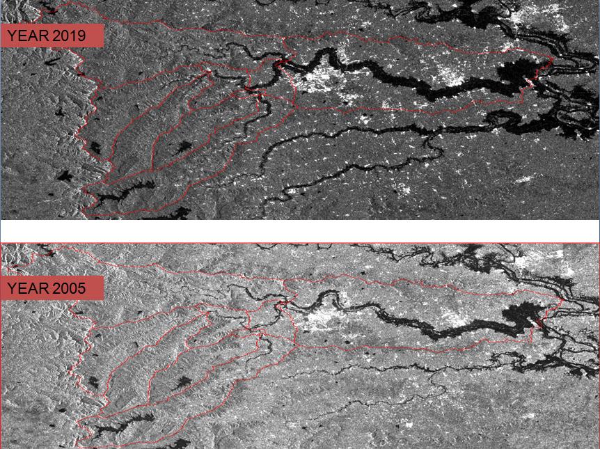
The number of flood incidents documented in previous years has significantly grown, impacting people's lives and resulting in long-term economic loss and environmental harm in impacted areas. In many regions of the world, floods are expected to become more frequent and severe due to climate change.
Flooding has increased 4-fold and 2.5-fold in the tropics and northern mid-latitudes, respectively, according to a worldwide flood database based on in-situ measurement and satellite remote sensing from 1985 to 2015. (Najibi and Devineni, 2018). Flood-related disasters accounted for 44% of all disasters and 31% of all economic losses between 1970 and 2019. (WMO, 2021). This is even more important because various rivers are experiencing significant changes in flow as a result of global climate change. The establishment of a river flood monitoring system is especially important because of the increased frequency and severity of flooding brought on by climate change.
However, there were very few studies of forecasting the events in real-time or informing stakeholders in the relevant impacted areas while evaluating extreme flooding events that could help to find out the factors that produced those disasters. These observations suggest that systematic research is required to predict and simulate flood scenarios to prevent losses. Despite numerous flood assessment studies, there is still ample scope for an extensive multidisciplinary study in this area.
The proposed research aims to develop real time system that can be beneficial for flood monitoring and prediction. This system could strengthen disaster management planning and reduce potential consequences at both the local and national levels.
|